City governments across the United States are seeking better ways to connect with residents while managing service requests efficiently. A 311 CRM platform for mobile app users provides structured reporting, tracking, and communication tools. When combined with QR code integration and geo-fencing location-based services, citywide engagement is increased and service delivery is better coordinated.
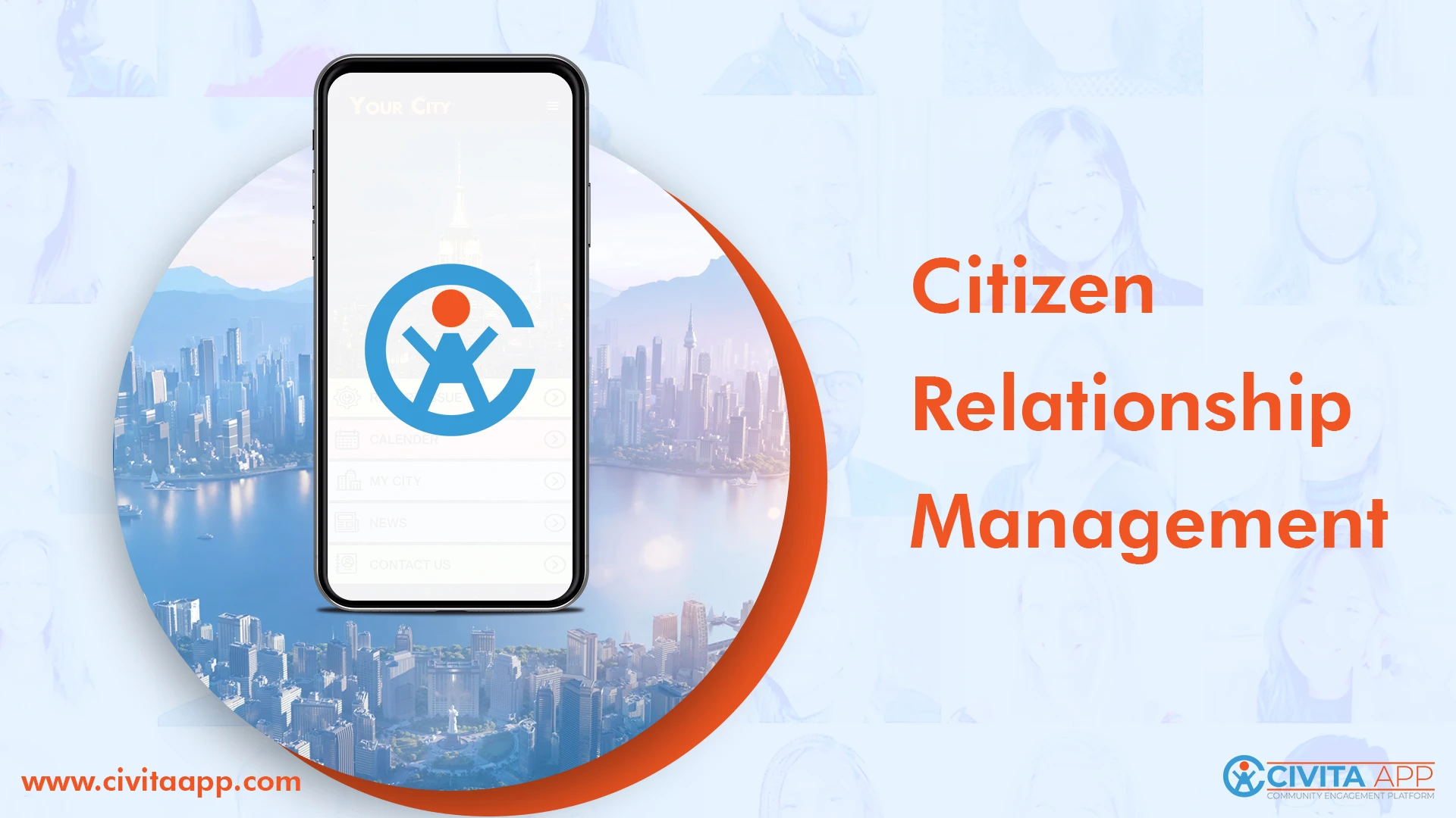
Civita App functions as a comprehensive 311 CRM mobile solution. Non-emergency concerns such as potholes, streetlight outages, graffiti, and code violations can be reported directly from smartphones. Service requests are submitted with photos, exact GPS locations are captured, and request status can be tracked in real time. Push notifications are sent to keep residents informed.
By using a mobile-first 311 CRM system, service requests are collected, assigned, and resolved in a structured manner. Delays are reduced, and transparency between local government and residents is improved.
Increase Citywide Engagement with QR Code Integration for Services
QR code integration adds another layer of access and convenience. With dynamic QR codes for city services, residents and visitors can be connected instantly to information and digital services.
QR codes can be placed on:
-
Public signage
-
Parks and landmarks
-
City buildings and facilities
-
Event banners and tourism locations
When scanned, these codes can link users to videos, interactive maps, online surveys, digital forms, check-ins, and service portals. Access to information is provided without requiring long searches on city websites.
This feature supports tourism by offering location-specific details about attractions and community points of interest. It also improves accessibility for residents who need quick access to city services. Engagement tracking is enabled through QR code analytics, allowing city administrators to measure usage, identify popular locations, and gather data-driven insights.
As a result, QR code integration for municipal engagement helps streamline service delivery while expanding digital participation across the community.
Geo-Fencing Location-Based Services for Targeted City Communication
Geo-fencing technology creates virtual boundaries that support precise communication and service management. With geo-fencing for government mobile apps, notifications and updates can be targeted to specific neighborhoods or zones.
This feature allows cities to:
-
Send alerts to defined geographic areas
-
Track service delivery zones
-
Manage location-specific issues
-
Improve coordination during events or maintenance activities
When a resident enters or exits a defined area, location-based notifications can be delivered automatically. This ensures that relevant information is shared with the right audience at the right time.
Geo-fencing also supports better tracking of field operations. Service zones can be monitored, and recurring location-based issues can be identified more easily. Geographic targeting improves planning and resource allocation.
By combining a 311 CRM mobile app for cities with QR code integration and geo-fencing technology, a complete community engagement platform is created. Service requests are managed efficiently, access to information is simplified, and communication is delivered with geographic precision.
Through these features, stronger connections between cities and residents are supported, and modern service expectations are met in a structured and cost-effective way.